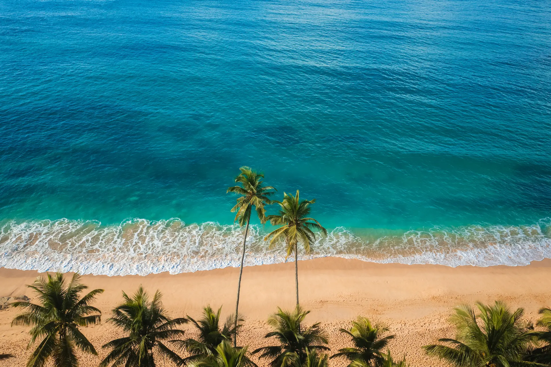
Beach & Water route · November to April
Sri Lanka Itinerary: 7 Days - South Coast and Whales
Three coastal bases, each with its own character. Bentota pairs a broad beach with mangrove boat rides and the Kosgoda turtle hatchery. Unawatuna is a sheltered swimming bay ten minutes from Galle Fort, the walled 17th-century Dutch town that deserves a full evening. Mirissa takes the last two nights; between November and April its boats find blue whales more mornings than not.
- 7 days
- Beach & Water
- November to April
- 393 km
The trip on the map
Every overnight stop, and the roads between them.
Days
7
Driving
8-11 h total
Distance
393 km
Season
November to April
Best November to April for the Mirissa whale watching trip; outside that window the boat trips pause and the south coast runs as a quieter beach break.
Route at a glance
- Airport → Bentota113 km · 2-3 h
- Bentota → Unawatuna61.8 km · 1.5-2.5 h
- Unawatuna → Mirissa30.5 km · 1-1.5 h
- Mirissa → Airport187.8 km · 3.5-4 h
The journey, day by day
Bentota
Land and take the expressway down to Bentota, about 2.5 hours. Afternoon on the beach.
Bandaranaike Airport → Bentota113 km · 2-3 h · E03, E01Around Bentota - everything on offer, you choose
Activities
- Bentota Beach Water Sports (Jet Ski, Banana Boat, Water Skiing)2h
- Madu Ganga Mangrove Boat Safari (Balapitiya)2h
Bentota, at your pace
The Bentota river by boat in the morning, all mangrove tunnels and monitor lizards, then the Kosgoda turtle hatchery (allow about 30-45 minutes for the tanks and hatchlings) down the coast.
Unawatuna
About two hours along the coast road to Unawatuna, a sheltered swimming bay, with the reef beach at Hikkaduwa on the way. Evening at the bay.
Bentota → Unawatuna61.8 km · 1.5-2.5 h · A2passing Hikkaduwa (reef beach), Galle (Galle Fort)Around Unawatuna - everything on offer, you choose

Unawatuna Beach
A sheltered crescent bay 3km south of Galle with calm year-round swimming, coral reefs 50m offshore, and the highest concentration of guesthouses on the south coast.

Jungle Beach (Rumassala)
A secluded 150m cove on the forested Rumassala headland, 10 minutes from Unawatuna, with no food vendors, dense jungle to the waterline, and cleaner water than the main bay.
Activities
- Rumassala Forest Hike to the Japanese Peace Pagoda1.5h
- Unawatuna Reef Snorkeling and Beginner Dive Trip2.5h
Unawatuna, at your pace
Galle Fort is ten minutes away: walk the ramparts, look into the 18th-century Dutch Reformed Church, take lunch in the old town. Jungle Beach on the forested Rumassala headland fills the afternoon.
Mirissa
Half an hour to Mirissa, passing Weligama's beginner surf bay. Sunset from Coconut Tree Hill.
Unawatuna → Mirissa30.5 km · 1-1.5 h · A2passing Weligama (surf bay)Around Mirissa - everything on offer, you choose
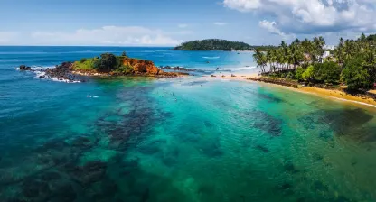
Parrot Rock (Mirissa)
A large flat-topped rock at the eastern end of Mirissa Bay, reachable by a short swim at low tide, popular for cliff jumping into 5m water below.

Coconut Tree Hill (Mirissa)
A small rocky headland east of Mirissa beach planted with tall coconut palms, offering a 270-degree ocean panorama 20m above the water — one of Sri Lanka's most photographed viewpoints.

Mirissa Beach
A 1km crescent bay 150km south of Colombo, Sri Lanka's primary departure point for blue whale watching (November to April), with a calm swimming beach and a growing restaurant scene.
Activities
- Mirissa Whale and Dolphin Watching Boat Tour4h
Mirissa, at your pace
Whale day: boats leave at dawn between November and April, and blue whales are found more mornings than not. The afternoon is yours.
Fly home
A final swim, then the expressway to the airport, about 3.5 hours.
Mirissa → Airport187.8 km · 3.5-4 h · E01, E03
Every day on this route is driven by your own driver and car; see how private driver hire works. Check the visa requirements and when to go before you fix dates.
Make it yours
This route is a starting point, not a fixed product. Open it in the trip planner and rework it yourself, or send it to our Kandy team and get a customized version with a quote. No payment until you confirm the final plan.