Classic route · May to October
Sri Lanka Itinerary: 10 Days - Classic Ceylon Summer Circuit
This is the order we suggest for May to September. After Sigiriya's rock fortress, the road runs east past Polonnaruwa's medieval ruins to Pasikudah, whose sheltered bay suits hesitant swimmers, then to the surf town of Arugam Bay. From there the trip climbs inland: two hill nights at Ella, the tea estates around Nuwara Eliya, and a last evening at Kandy's Temple of the Sacred Tooth.
- 10 days
- Classic
- May to October
- 856 km
The trip on the map
Every overnight stop, and the roads between them.
Days
10
Driving
21-27 h total
Distance
856 km
Season
May to October
Best May to September, when Pasikudah and Arugam Bay have calm seas and good surf; this replaces the November to April south coast finale of our ten-day wildlife and south coast classic with the summer-only east coast season.
Route at a glance
- Airport → Sigiriya157.5 km · 3.5-5 h
- Sigiriya → Pasikudah134.4 km · 2.5-3.5 h
- Pasikudah → Arugam Bay146 km · 3.5-4 h
- Arugam Bay → Ella135 km · 3-4 h
- Ella → Nuwara Eliya56 km · 2-2.5 h
- Nuwara Eliya → Kandy73.3 km · 2.5-3 h
- Kandy → Airport154.1 km · 4-5.5 h
The journey, day by day
Sigiriya
The drive from the airport reaches Sigiriya in about 4 hours, through Kurunegala and Dambulla.
Bandaranaike Airport → Sigiriya157.5 km · 3.5-5 h · A3, A6passing Negombo (lagoon town), Kurunegala (rock-and-lake town), Dambulla (Dambulla Cave Temple)Around Sigiriya - everything on offer, you choose

Sigiriya Frescoes & Mirror Wall
Ancient 5th-century frescoes depicting 21 cloud maidens painted on Sigiriya Rock, alongside a polished mirror wall with 8th-century visitor inscriptions.

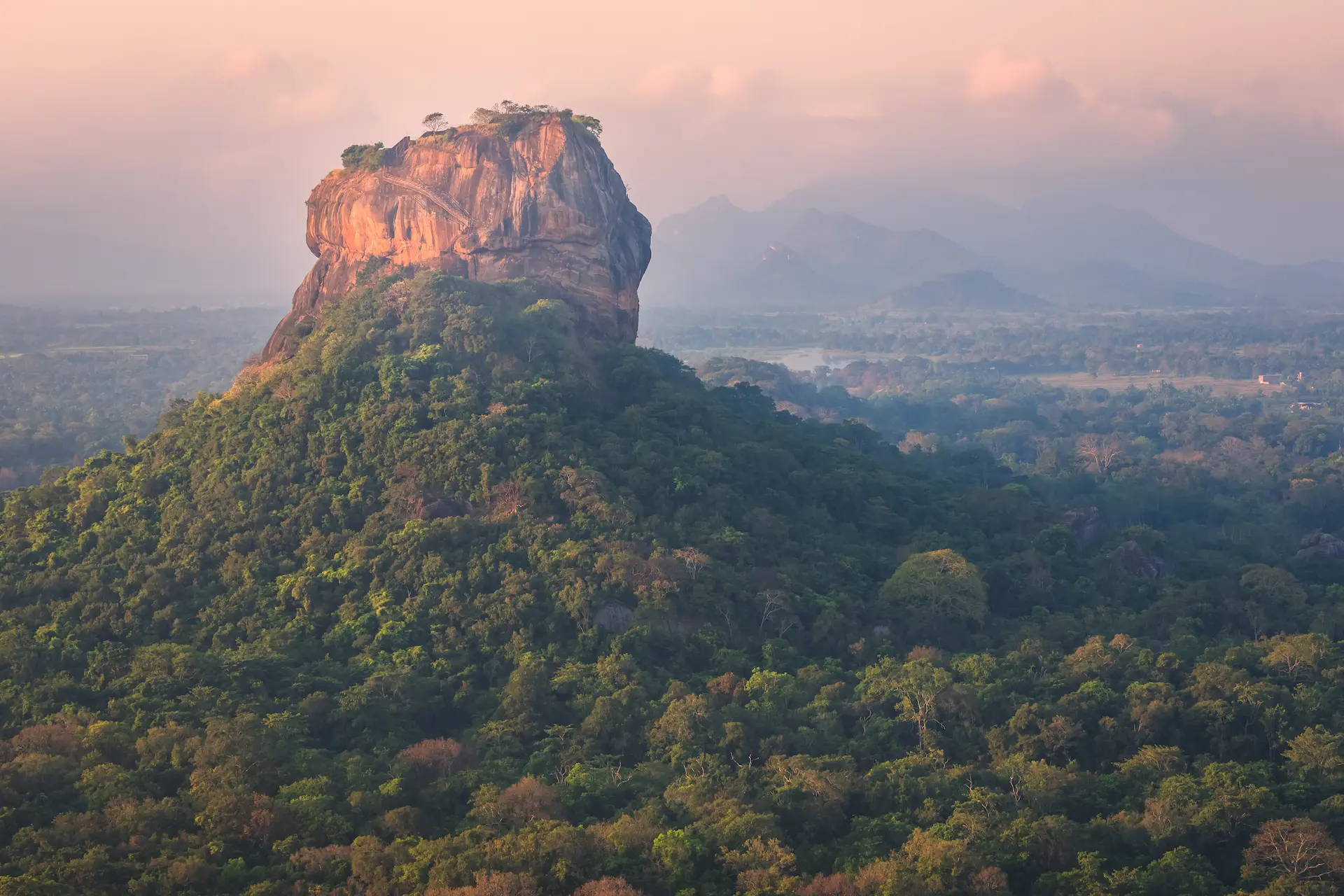
Sigiriya Rock Fortress
5th-century palace and fortress built atop a 200m granite monolith by King Kashyapa, a UNESCO World Heritage Site and the most visited paid attraction in Sri Lanka.

Ayurveda & Wellness Sessions
Traditional Ayurvedic treatments including herbal oil massages and steam baths offered at resorts and village centres in the Sigiriya area.

Sigiriya Nature Walks
Guided village and jungle walks through the lowland scrub forest and paddy fields around Sigiriya village, covering local farming, birding, and rural life.
Sigiriya Village Tour
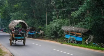
A half-day guided village experience in Sigiriya showing traditional bullock cart rides, catamarans on a village tank, cooking demonstrations, and paddy farming.

Pidurangala Rock
A 200m rock outcrop 1.5km north of Sigiriya offering the best panoramic view of Sigiriya Rock, with a reclining Buddha at the summit base dating to the 6th century.
Reading before you go
Pasikudah
Climb Sigiriya's 200-metre rock citadel and visit the Dambulla Cave Temple, then it's on to Pasikudah via Habarana and the medieval ruins of Polonnaruwa, about 2.5 hours.
Sigiriya → Pasikudah134.4 km · 2.5-3.5 h · A6, A11passing Habarana (safari base town), Polonnaruwa (medieval capital)Around Pasikudah - everything on offer, you choose
Activities
- Pasikuda Glass-Bottom Boat and Shallow Reef Snorkel1.5h
Pasikudah, at your pace
Full day at Pasikudah: swim in its shallow, reef-protected bay and take a snorkelling trip to the offshore reef.
Arugam Bay
Arugam Bay, an east-coast surf town built around a long right-hand point break, is about 3.5 hours away via Batticaloa.
Pasikudah → Arugam Bay146 km · 3.5-4 h · A15, A4passing Batticaloa (lagoon city)Around Arugam Bay - everything on offer, you choose

Arugam Bay Beach
Sri Lanka's premier surf break, ranked among the world's top 10 point breaks, with a right-hander that works best May to October.

Arugam Bay Pottuvil Lagoon
Mangrove-lined tidal lagoon 2 km from Arugam Bay with resident mugger crocodiles, painted storks, and canoe tours through narrow channels.
- KF
Kudumbigala Forest Hermitage
Active forest monastery of cave-dwelling monks near Panama, Ampara, with ancient rock inscriptions, a 2nd-century BCE origin, and dramatic boulder landscape.
Activities
- Arugam Bay Beginner Surf Lesson2h
- Kumana National Park Jeep Safari4h
- Pottuvil Lagoon Mangrove Safari (Crocodile Spotting)2h
Reading before you go
Arugam Bay, at your pace
Full day at Arugam Bay: a surf lesson at Main Point, or a boat trip on the lagoon.
Ella
Ella is about 3 hours away, inland through Wellawaya. The Nine Arch Bridge, a stone railway viaduct built in 1921, occupies the afternoon.
Arugam Bay → Ella135 km · 3-4 h · A4, A23passing Wellawaya (where the hills meet the plains)Around Ella - everything on offer, you choose

Little Adam's Peak
An easy 45-minute hike from Ella town to a 1,141m summit with 360-degree views — the most accessible hilltop panorama in the Ella region.

Ella Gap Viewpoint
A natural break in the hill country escarpment above Ella town with a sweeping view down a 1,000m drop to the southern coastal plains on clear days.

Ravana Falls
A 25m fan-shaped waterfall on the Badulla–Ella road, one of Sri Lanka's widest falls, associated with the Ramayana legend of King Ravana.

Nine Arch Bridge
A 91m colonial viaduct built in 1921 with nine arches, best photographed when a train crosses — departures from Ella at approximately 9:10am and 3:15pm daily.

Rawana Ella Cave
A natural cave in the hillside near Ella said by local tradition to be where King Ravana hid Sita during the Ramayana epic, located close to Ravana Falls.

Ella Rock
A 1,041m summit above Ella town reached by a 3-hour round-trip hike through tea estates and jungle, with panoramic views across the Ella Gap valley.

Demodara Railway Loop
A unique engineering feature of the hill country railway where the track loops under itself in a 360-degree spiral — the train passes over the same point at two different levels.
- BW
Bogoda Wooden Bridge
A 16th-century wooden bridge over Hali Ela Oya near Hali-Ela, one of the oldest surviving wooden structures in Sri Lanka, with an unusual roof built to protect the timbers.

Dunhinda Falls
A 64m waterfall 5km from Badulla, among the widest falls in Sri Lanka, reached by a 30-minute forest trail along the Uma Oya river.
Activities
- Ella Home-Hosted Cooking Class3h
- Ella Tea Factory Tour and Tasting (Halpewatte)1.5h
- Flying Ravana Zipline, Ella1h
- Kandy to Ella Scenic Train Journey (Reserved Seat)6.5h
- Nanu Oya to Ella Scenic Train Journey (Reserved Seat)3h
Reading before you go
Ella, at your pace
Hiking day around Ella: Little Adam's Peak is an easy 1 to 1.5 hour round trip on a paved path; Ella Rock is the serious one, 3 to 4 hours round trip on an unmarked trail, best started early; Ravana Falls, a roadside waterfall named for the demon king of the Ramayana, fits on the drive out.
Nuwara Eliya
Nuwara Eliya, a hill town of Tudor-style cottages built by British tea planters, is about 2 hours away. A working tea factory and a walk along the shore of Gregory Lake take up the day.
Ella → Nuwara Eliya56 km · 2-2.5 h · A5Around Nuwara Eliya - everything on offer, you choose

Seetha Amman Kovil
A Hindu temple in Sita Eliya near Nuwara Eliya, built at the site where Ramayana's Sita is believed to have been held captive by King Ravana.

Pink Post Office
A functioning colonial-era post office in central Nuwara Eliya built in 1894, one of the most photographed colonial buildings in Sri Lanka's hill country.

Gregory Lake
Colonial-era reservoir built in 1873 in Nuwara Eliya at 1,868m elevation, offering boating, lakeside cycling, and views of surrounding tea hills.

Lover's Leap Waterfall
A 30-metre waterfall on the Laxapana River in Nuwara Eliya, accessible via a short walk through a tea estate, named after a colonial-era legend.
Horton Plains National Park
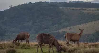
UNESCO World Heritage plateau at 2,100-2,300m elevation in the Central Highlands, home to World's End cliff dropping 870m and the 20m Baker's Falls.
Activities
- Gregory Lake Pedal and Speed Boating1h
- Horton Plains World's End Guided Nature Walk3.5h
- Nuwara Eliya Strawberry Farm Visit1h
- Nuwara Eliya Tea Factory Tour and Tasting1.5h
Kandy
The road continues to Kandy via the Ramboda Pass, about 2.5 hours. The Temple of the Sacred Tooth Relic and Kandy Lake fill the afternoon, ending with the evening puja.
Nuwara Eliya → Kandy73.3 km · 2.5-3 h · A5Around Kandy - everything on offer, you choose

Temple of the Tooth Relic
Sri Dalada Maligawa in Kandy houses a tooth relic of the Buddha and has been the most sacred Buddhist site in Sri Lanka since the 4th century AD.

Udawattakele Forest Reserve
A 104-hectare protected cloud forest reserve directly above central Kandy, with 68 recorded bird species and multiple walking trails through bamboo groves and tropical trees.

Kandy Lake
Artificial lake built by King Sri Wickrama Rajasinha in 1807 at the centre of Kandy, encircled by a 3km walkway and flanked by the Temple of the Tooth.

Bahirawakanda Vihara Buddha Statue
A 26.8-metre white seated Buddha statue on Bahirawakanda Hill overlooking central Kandy, visible from most of the city and accessible by a 30-minute walk or tuk-tuk.

Royal Botanical Gardens Peradeniya
Sri Lanka's largest botanical garden covering 147 acres on a meander of the Mahaweli River, established in 1821 with over 4,000 plant species including a 350-year-old Java fig tree.

Hanthana Mountain Range
A ridge of peaks reaching 1,467m immediately south-west of Kandy, offering half-day hiking trails through tea estates with views over the Kandy valley.

Embekke Devale
A 14th-century Hindu-Buddhist devale in Udunuwara near Kandy, renowned for its intricately carved wooden pillars depicting wrestlers, peacocks, and mythological figures.

Lankatilaka Vihara
A 14th-century rock temple in Udunuwara near Kandy built under King Bhuvanekabahu IV, with a 14-metre Buddha shrine carved into a granite outcrop and notable Kandyan frescoes.

Ambuluwawa Tower
A 48-metre spiral tower on a 1,600m peak near Gampola with a multi-religious complex below and 360-degree views reaching Kandy, Hatton, and the coastal plains.
Victoria Dam & Reservoir
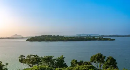
Sri Lanka's largest hydropower dam, completed in 1985 on the Mahaweli River with a 122-metre arch dam wall, creating a 722-hectare reservoir visible from a public viewing platform.

Aluviharaya Rock Cave Temple
A 1st-century BC rock cave monastery near Matale where the Tripitaka Buddhist scriptures were first committed to writing on ola palm leaves, with a restored complex of cave shrines.

Knuckles Mountain Range
A UNESCO World Heritage mountain range northeast of Kandy with peaks up to 1,863m, covering 155 sq km of cloud forest with over 34 endemic vertebrate species and 20+ trekking routes.
Activities
- Ceylon Tea Museum Guided Tour (Hantana)1.5h
- Kandy Esala Perahera Evening Viewing3h
- Kandy Home-Hosted Cooking Class3h
- Kandyan Cultural Dance and Drumming Show1h
- Knuckles Range Guided Day Trek6h
Fly home
The transfer to the airport runs via Kegalle, about 4 hours, for departure.
Kandy → Airport154.1 km · 4-5.5 h · A1, E03passing Kegalle (Pinnawala elephant orphanage side stop), Colombo (the capital)

Every day on this route is driven by your own driver and car; see how private driver hire works. Check the visa requirements and when to go before you fix dates.
Make it yours
This route is a starting point, not a fixed product. Open it in the trip planner and rework it yourself, or send it to our Kandy team and get a customized version with a quote. No payment until you confirm the final plan.